We have good news for you! Finally we can present a significant improvement of the Wheelmap, which you can test live.
Visually, not much has changed, but the code and the database have: the new test wheelmap finally shows the current location data from OpenStreetMap (OSM) again. And by the way, many new place types have been added to the future map, such as dog runs, parks, e-charging stations, letterboxes and rubbish bins.
At https://beta.wheelmap.org, Wheelmap users can take a look at the result of the update, try it out and send us feedback. The test phase will last about four weeks. After that, the improvements will be released at https://wheelmap.org.
But first things first. What exactly is behind the adjustments in the map application?
Problem 1:
Lack of updating with the OpenStreetMap
The technical infrastructure of Wheelmap was based on an outdated code that was less and less able to cope with the growth of OpenStreetMap in recent years.
As a result, the automatic updating of data from OpenStreetMap only worked to a very limited extent. This meant that the data displayed was often much older than in OpenStreetMap. As a result, places appeared that had long since ceased to exist, had been given a different name or had changed location in the meantime.
Since the OpenStreetMap is Wheelmap.org’s most important data source and brings millions of places onto the map, the lack of updates led to a considerable loss of quality.
Problem 2:
Too large change sets when saving in OpenStreetMap
Another problem led to complaints from the OpenStreetMap community in particular: The changes that users made via the Wheelmap.org user interface were first stored in a queue before being uploaded to the OSM and then uploaded collectively after some time.
This meant that every time Wheelmap updated the OSM, the new data was scattered all over the world.
These large “changesets”, as they are called in OpenStreetMap, made it difficult for the numerous OpenStreetMappers to keep an eye on the quality of the data. Small changesets are important for the decentralized way of working of the community – this way the mappers are immediately informed about changes in their responsible map area.
Solution: New, stable code
To address these challenges, the code for Wheelmap was rewritten and a stable infrastructure was developed. Users can test the result at https://beta.wheelmap.org.
This beta version is fully functional. All your ratings will be synchronized directly with OpenStreetMap and will be visible on beta.wheelmap.org, usually within less than 1.5 hours.
And the other way round: If you make a change in OpenStreetMap, it will also be reliably displayed on beta.wheelmap.org within a short time. So from now on, the test version will again reflect the current state of OpenStreetMap.
Fortunately, the problematic large changesets are also abolished with the new code. This is because every new edit via the beta version is now saved directly in the OpenStreetMap.
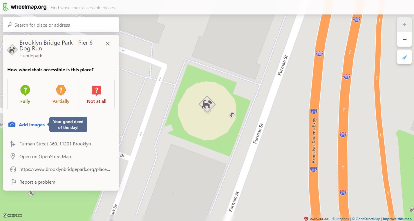
Lots of new grey places to rate!
For all those who want to test the improved Wheelmap in the beta version, there is another nice incentive: In addition to the technical innovations in the code, new categories for places have been added along the way. So there are now even more grey places for which you can contribute information!
The new categories:
- Shopping:
Telecommunications, Tattoo parlours, Chocolate shops and Fashion accessories.
- Leisure:
Tanning salons, parks, gardens, sports facilities and dog runs.
- Business:
Offices for IT, consulting and tax advice as well as facilities such as canteens and food courts.
- Health & Social:
Childcare facilities, music schools and nursing homes.
- Diplomacy:
Embassies and diplomatic offices are now also available.
- Transport:
New categories for public transport, train stations, bus stops, charging stations for electric vehicles and much more.
- Playgrounds:
Individual playground equipment can now be rated.
- Public space equipment:
Picnic tables, information boards,waste bins and disposal stations,, bicycle repair stations, telephone boxes, vending machines and much more.
These new categories expand the variety of places you can rate on Wheelmap. With the help of Wheelmappers and OpenStreetMappers, we continue to improve the information about wheelchair accessibility on the map.
Participate, test and give feedback
Check out Wheelmap.org in its improved state now! Has anything changed in your neighbourhood? Have new places been added that you can rate? Have old ones disappeared that haven’t been around for a while? Feel free to test it and give us feedback at [email protected].
The Wheelmap team sincerely regrets that it has taken so long to resolve the issues. We thank you, our users, and the OpenStreetMap community for your support and patience. Special thanks to Joachim Kast of OpenStreetMap for alerting us to the impact of this issue on the community and offering helpful advice.
- Geschrieben am
Weitere Artikel
Wheelmap.org: Our field trip to Toronto
In September the team of Wheelmap.org was in Toronto. We met the Canadian Abilities Foundation, students, and activists of the disability rights movement. And
What’s up with Inclusion in Canada? Wheelmap goes Toronto!
Excitement is brewing for a Sozialhelden field trip: the Wheelmap.org and Leidmedien.de project teams are traveling to Canada in order to prepare a MapMyDay